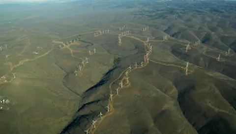
Remote sensing verification
Ground-based vertical profiling, nacelle, floating and scanning lidar verification
DNV is one of the pioneers in remote sensing verification, having carried out lidar (Light Detection And Ranging) verifications since 2005. DNV operates remote sensing test sites in Germany, USA, South Korea and China.
The measurement accuracy of the lidar system and its uncertainty must be determined by an independent service provider and evaluated in accordance with international standards and guidelines.
DNV's lidar expert team is prepared and looking forward to apply its knowledge and experience on remote sensing verification to support you and your projects.
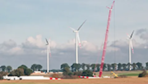
Nacelle lidar verification

Our remote sensing test site in northern Germany provides optimal conditions for the verification of nacelle lidar systems. As a member of the IEC-committee, DNV was involved in the development of the IEC 61400-50-3 standard and ensures that it is applied to the verification of nacelle lidar devices. A unique nacelle lidar test setup consisting of 3 x 30 m masts leads to reductions in uncertainty and measurement duration compared to a conventional inclined test setup (slant test). DNV also offers a long range test pad for 390 to 490 meters.
Top image: DNV nacelle lidar test site in Janneby, Germany, with Vaisala's WindCube Nacelle lidar
Right image: DNV nacelle lidar test site in Janneby, Germany, with ZX Lidars' ZX TM wind lidar
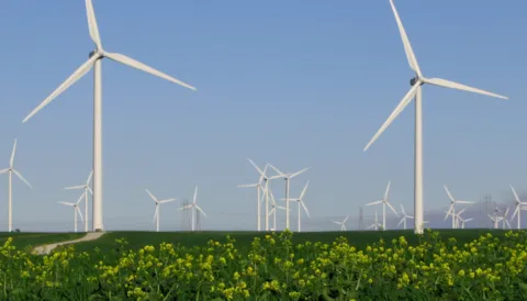
Ground-based remote sensing verification
 DNV is the leading expert in remote sensing verification with well over 200 verifications yearly, offering remote sensing test sites (including one 200 m mast test site operated by GEO-NET Umweltconsulting GmbH) in Germany, USA, South Korea and China that provide optimal conditions for performance verification of remote sensing devices. Our German testing organisation is accredited to perform third party testing services including the verification of ground-based remote sensing devices by Deutsche Akkreditierungsstelle (DAkkS) and applies rigorous equipment, process and quality standards. Ground-based remote sensing verifications are carried out according to the requirements of the IEC 61400-12-1 standard and DNV lidar verification criteria.
Image: DNV ground-based lidar test site in Hamburg, Germany, with Vaisala's WindCube 2.1 and ZX Lidars ZX300 lidar
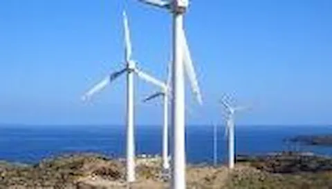
Floating lidar verification
 Applying our knowledge gained from our extensive experience with ground-based lidar, we further developed it for floating lidar applications. DNV led the project team creating the Carbon Trust OWA floating lidar Roadmap Update in 2018, was actively involved in IEA RP18 and performed well over 100 floating lidar verifications for manufacturers and operators since 2011.
Image: Fugro SEAWATCH® Wind LiDAR Buoy
Scanning lidar verification
 For cases where performing measurements with either ground- based, floating or nacelle lidar devices is not feasible, like near coastal deep-water offshore assessments, scanning lidar is a viable alternative. DNV is ideally positioned to perform verification also for these advanced devices.
DNV has developed procedures and tools to carry out performance verifications for scanning lidars in single and dual-Doppler devices at its test site in Janneby, Northern Germany. The scanning lidars are installed approximately 2 km away from the test site, where a met mast equipped with traditional sensors like cup and sonic anemometers as well as wind vanes serve as reference measurement devices.
Image: DNV scanning lidar test site in Janneby, Germany, with Vaisala's WindCube Scan
Related information
Want to know more about this new service?
Get in touch
Vertical profiling lidar verifications at Janneby
The lidar-to-lidar verification enables a traceable reference up to 200 m at our Janneby test site.
Contact us

Stephan Fiedler
Principal Engineer and Team Leader Lidar, Wind & Turbine Testing, Measurements – Northern Europe