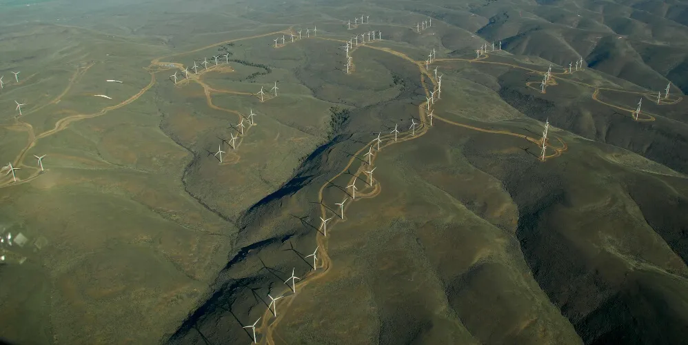
Remote sensing in complex terrain
Complex terrain conversion factors for Remote Sensing devices: An advanced CFD based approach which facilitates the increased use of Remote Sensing devices in non-simple flow conditions
DNV is deploying an advanced modelling service that can demonstrably reconcile observed differences between Remote Sensing (RS) volume measurements and anemometer point measurements in complex terrain. This service leads to increased acceptance of RS data by stakeholders for use in pre-construction wind resource and energy production assessments and reduction of uncertainty of predictions.
Proven accuracy
Results of our systematic validation effort demonstrate that the DNV modelling approach leads to an improvement in RS/mast comparisons in 35 out of 36 test cases. This validation represents the industry’s largest, best documented track record of RS complex terrain flow conversion techniques to date, for a wide range of RS technologies.

Reduction of uncertainty
Across the validation test cases, this advanced modelling approach was able to reduce the differences in RS/mast comparisons by approximately 75% on average, for a range of sites with differing flow complexity. Going forward, DNV shall correspondingly be able to quantify and reduce RS measurement uncertainties for projects where a DNV analysis has been performed.
Increasing the acceptance of remote sensing
The DNV modelling capability advances the case towards broader acceptance of the use of RS for pre-construction wind farm development on sites with complex terrain, complex land-cover such as forestry and/or complex atmospheric conditions.
More physics inside
The service is founded on DNV's advanced in-house CFD model that considers the key controlling physics determining flow patterns across wind farm sites. It features:
- High resolution terrain modelling with high quality mesh
- Models for variable land cover
- The effects of atmospheric stability, both within the boundary layer and in the free atmosphere above.
Unparalleled experience
The methodology has been developed in collaboration with RS OEMs and has been carefully validated by experienced RS experts and CFD specialists. It is powered by a calculation engine trusted by global leaders in the aeronautics, naval and automobile industries, and a powerful in-house supercomputing facility. Our global team of dedicated CFD engineers have analysed several hundred wind farm sites located in all regions of the globe.
Technology agnostic
The service can be trusted to model the effects of flow complexity for a variety of LiDAR and SoDAR devices, using device specific reconstruction algorithms. It can currently be used with the following devices:
- LiDAR:
- Leosphere WindCube
- ZX Lidars ZX300
- Mitsubishi Diabrezza
- SoDAR
- AQSystem AQ510
- Fulcrum3D Sodar
- Vaisala Triton
New device types can be added to the list as and when requested. Check with us if your device is not on the list.
Key deliverables
The outputs of the analyses can be tailored to your specific needs. Typical deliverables include:
- Directional conversion factors that can be applied to the RS data to align the RS data to equivalent point measurements
- Estimate of measurement uncertainty with and without the conversion factors.